Saudi Arabia · Riyadh · Jeddah · Eastern Province · NEOMProject enquiries · Secure request form
Case study · Saudi Arabia

Al Babtain Underground Utility Survey

A 7,800 m² GPR utility survey using a 3 m survey grid to investigate water, electrical, telecommunication and fibre infrastructure to an investigation objective of up to 5 m where ground conditions allowed.

LocationSaudi Arabia
ServiceGround Penetrating Radar
Scope7,800 m²
Depth / targetUp to 5 m
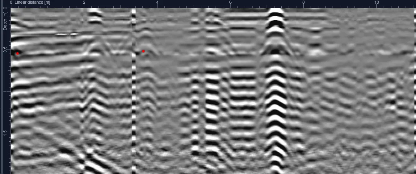
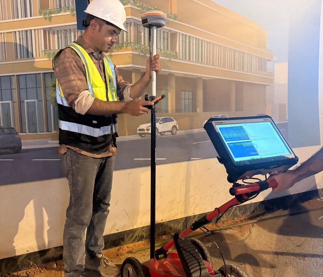
Representative archived survey method image; not necessarily captured at this project
Representative method image from the field archive; not a confirmed image from this project.
Project context

Why this investigation mattered

The project combined a sizeable survey footprint with several utility classes that can produce very different radar responses. Metallic power infrastructure, water services and telecommunications may vary in diameter, material, burial depth and installation history, so interpretation could not depend on a single “typical” radar signature.

A 3 m survey grid was used to create repeatable area coverage. The technical challenge was to preserve route continuity between survey lines while avoiding over-interpretation of isolated reflections caused by surface layers, backfill changes or non-utility features.

Investigation strategy

The survey was structured around the specified grid and the excavation-risk objective. Profiles were reviewed as a connected dataset rather than line by line in isolation, allowing potential utility responses to be traced through the area.

Interpretation prioritized linear continuity, repeatable geometry and consistency with known utility behavior. Water, electrical, telecommunication and fibre findings were then organized for engineering use, with uncertainty retained where the data did not justify a definitive classification.
Field-to-report workflow

How the project information was developed

The workflow is documented so the case study provides engineering context—not just a marketing summary.

  1. 01
    Confirm the 7,800 m² survey boundary and 3 m grid requirement.
  2. 02
    Collect systematic GPR profiles across the accessible work area.
  3. 03
    Process data to improve visibility of subsurface interfaces and utility-scale responses.
  4. 04
    Trace repeatable linear features across adjacent lines and compare against available site evidence.
  5. 05
    Issue mapped findings with depth information where supportable and clear survey limitations.

Interpretation and engineering use

The survey provided a structured subsurface reference for planning works in an area containing several utility types. The combination of repeatable grid coverage and route-based interpretation helps project teams identify where additional caution, verification or controlled excavation may be required.

Quality control

  • Grid coverage checked against the planned survey footprint.
  • Potential routes reviewed across multiple profiles rather than accepted from isolated anomalies.
  • Depth estimates treated as interpreted values dependent on local signal velocity.
  • Ambiguous responses retained as uncertainty rather than converted into false-positive utilities.

Project deliverables

  • Utility route interpretation for the surveyed area.
  • Project drawing / CAD-ready utility information.
  • Depth annotations where technically supportable.
  • Survey methodology and coverage record.
  • Technical findings and limitations for construction planning.

Technical limitations

The “up to 5 m” investigation objective is conditional. Radar penetration and target visibility depend on ground conductivity, moisture, antenna response, target dimensions and orientation. Deep or non-contrasting utilities may require complementary verification.

Project FAQ

Questions this case study answers

What was the survey area?

Approximately 7,800 m².

What grid was used?

The recorded survey grid was 3 m.

Which utility types were identified?

Project records include water, electrical, telecommunication and fibre infrastructure.

Plan before you excavate

Need subsurface information for a project?

Send the site location, survey area or route length, target depth and available drawings through the project request form.