Scope and engineering context
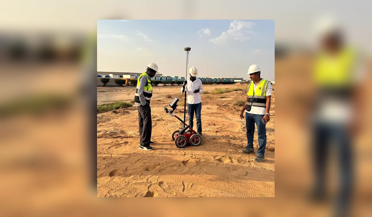
A phased GPR utility-risk investigation along 45 km of the NEOM corridor, combining field survey, subsurface interpretation and engineering-ready reporting to help plan subsequent works.
Project record
- 45 km corridor phase within a larger route programme
- 7 days field acquisition
- 4 days processing and interpretation
- 13 days from start to delivered report
How the investigation was approached
- Long linear corridors require practical segmentation, consistent scan coverage and a clear reference for each investigated section.
- The submitted programme separated field collection from processing and quality review; the technical objective was to identify interpretable subsurface responses, not to claim every utility was physically exposed.
- Any detected route, suspected crossing or anomaly should be checked against site records and confirmed by controlled physical verification before intrusive works.
Interpretation and limitations
The completed project phase documented a 45 km investigated corridor and produced a processed interpretation package within the reported 13-day delivery window. Specific utility identities or exact depths should be taken from the issued project drawings rather than inferred from a generic case summary.
Geophysical and electromagnetic results are interpretations of measured signals. They do not guarantee every buried utility or void has been detected. Where excavation, drilling or piling is planned, use the issued technical drawings and verify critical targets by controlled exposure or another agreed investigation method.
Deliverables and project decisions
Relevant outputs may include radar data records, mapped observations, anomaly notes, engineering drawings and the agreed final report. The exact contract deliverables are project-specific; this public overview does not replace them.