What this service does
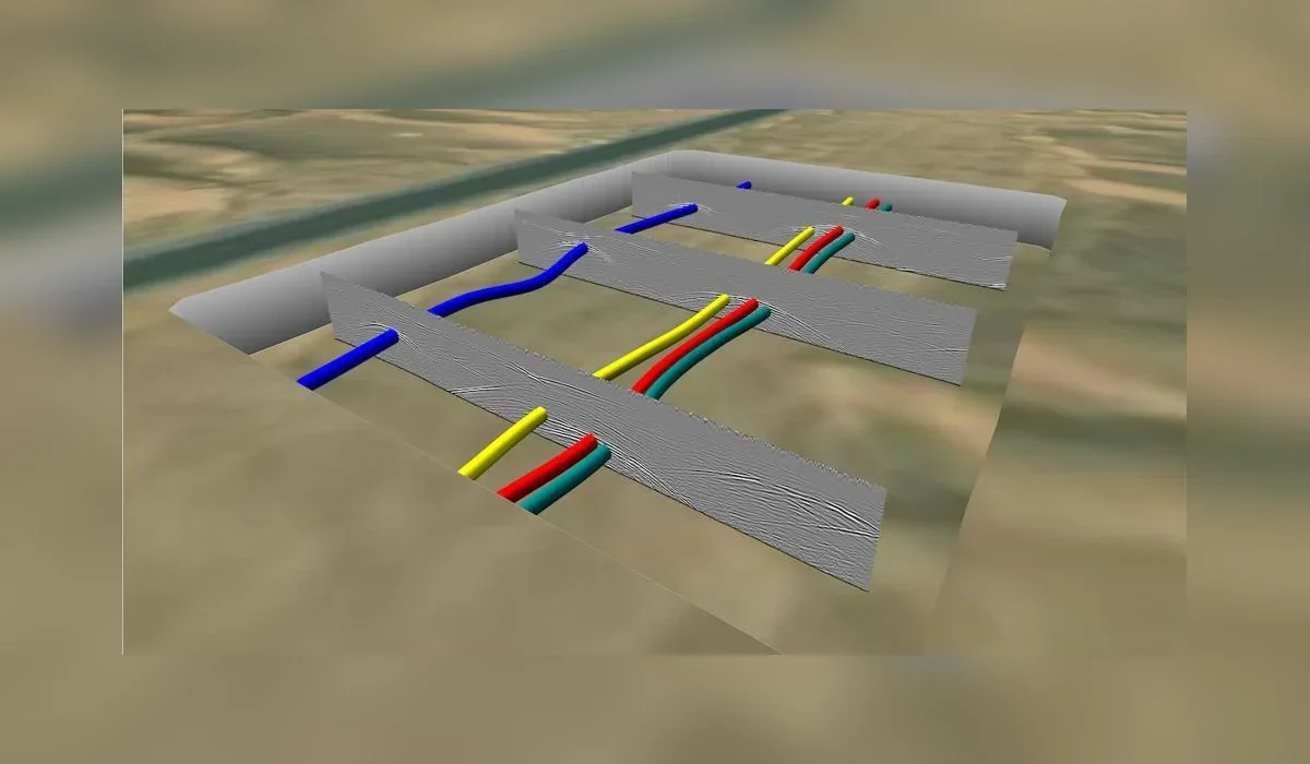
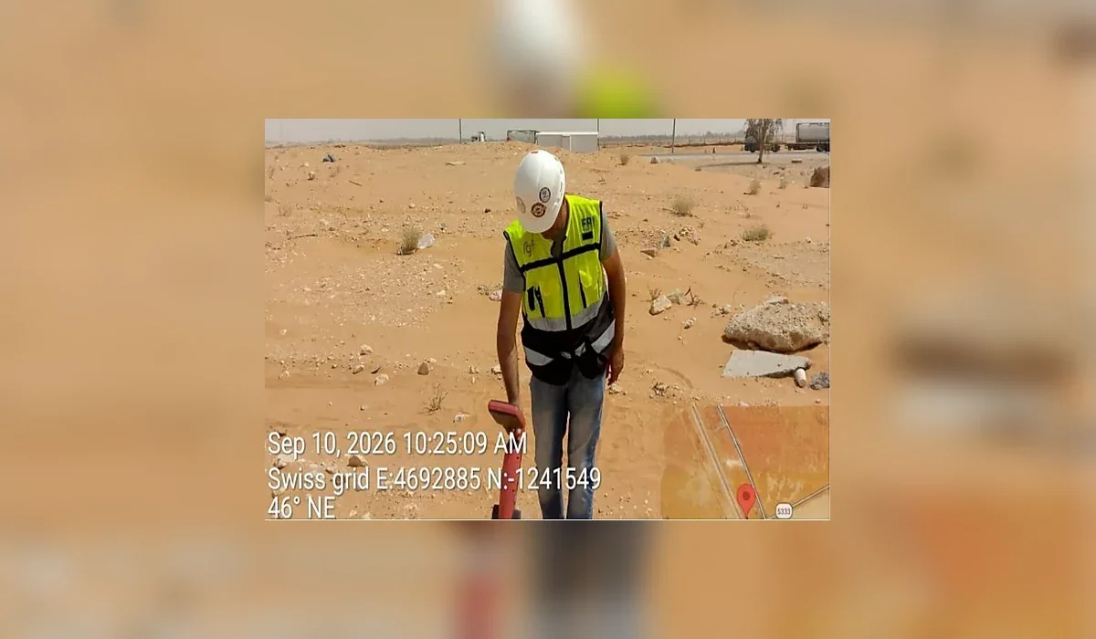
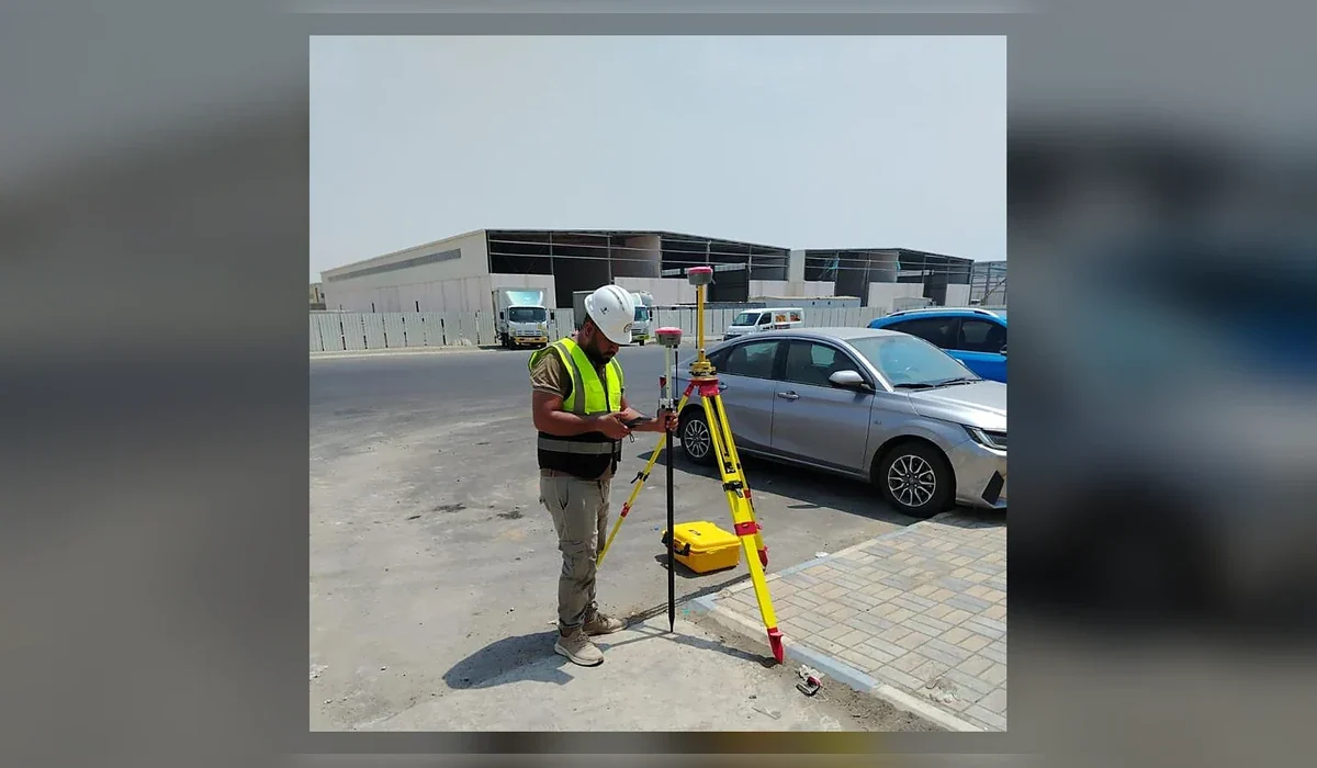
Underground utility detection is a risk-management workflow, not a single instrument. GPR can identify both conductive and non-conductive subsurface features, while electromagnetic and radio-frequency locating can strengthen route confidence for traceable metallic utilities. Survey control then positions findings for CAD or GIS delivery.
Common applications
- Pre-excavation clearance
- Utility corridor mapping
- HDD and trench route support
- Municipal infrastructure surveys
- As-built utility verification
Methodology
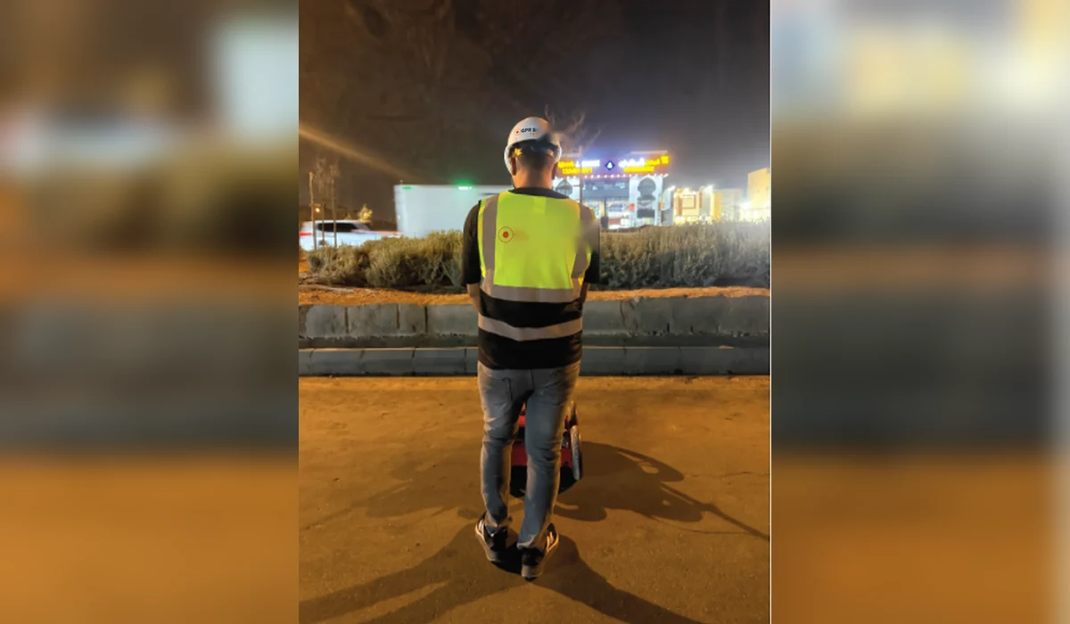
We start by reviewing drawings, target depth, planned intrusive works and access constraints. Field collection is then completed using a survey pattern appropriate to the site, with complementary locating methods used where they improve confidence. Findings are interpreted, positioned and issued in clear engineering deliverables.
Limitations and quality control
Results are classified and reported with clear limitations. Where a target cannot be confirmed confidently, the report should say so rather than convert uncertainty into a false positive.
Typical deliverables
- Marked-up plans and/or CAD drawings
- Depth annotations where technically supportable
- Survey coverage and methodology record
- Engineering report with findings and limitations
- GIS-compatible outputs when required