Site context and engineering objective
Major aviation developments can involve extensive construction interfaces and strict access controls. Utility investigation must be linked to the exact authorised area and current excavation or enabling-work design.
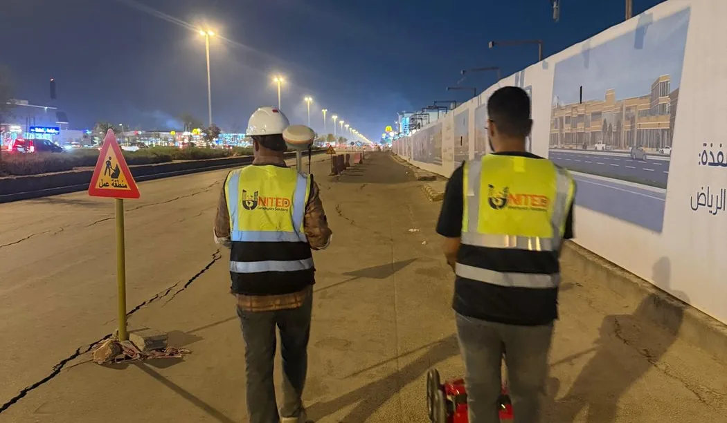
An underground utility-detection project reference associated with the King Salman airport development workfront in Riyadh.
Field approach and interpretation
- Agree the area of investigation, survey control, security/access permits and available utility plans with the principal project team.
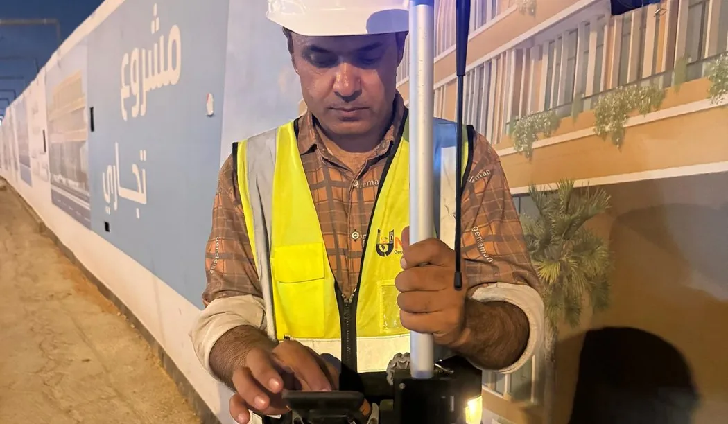
- Apply suitable non-destructive locating methods according to ground conditions, access and technical requirements.
- Record interpreted routes, anomalies and confidence limitations so design and construction teams can prioritise targeted verification.
Important limitations
A published project reference does not establish that the entire airport footprint was scanned. This page makes no claim about an unverified project area, detection count or achieved depth.
The depth and confidence of GPR interpretation vary with soil electrical properties, moisture, surface structure, reinforcement and target geometry. A non-destructive survey cannot guarantee that every buried service or embedded hazard has been found.
How this information supports site decisions
The practical purpose is to reduce uncertainty by identifying interpreted targets and zones that merit checks against records or controlled exposure. The issued technical report, not this public overview, determines the actual workfront, deliverables and verified findings.
Ground penetrating radar surveys · Planning before excavation