Saudi Arabia · Riyadh · Jeddah · Eastern Province · NEOMProject enquiries · Secure request form
Case study · Riyadh

Amanah Riyadh Underground Utility Detection Survey

An 8,700 m² underground utility investigation in Riyadh completed on a fast programme, with one day of field scanning, three days of data processing and final delivery within five days.

LocationRiyadh
ServiceUnderground Utility Detection
Scope8,700 m²
Depth / targetUp to 4 m
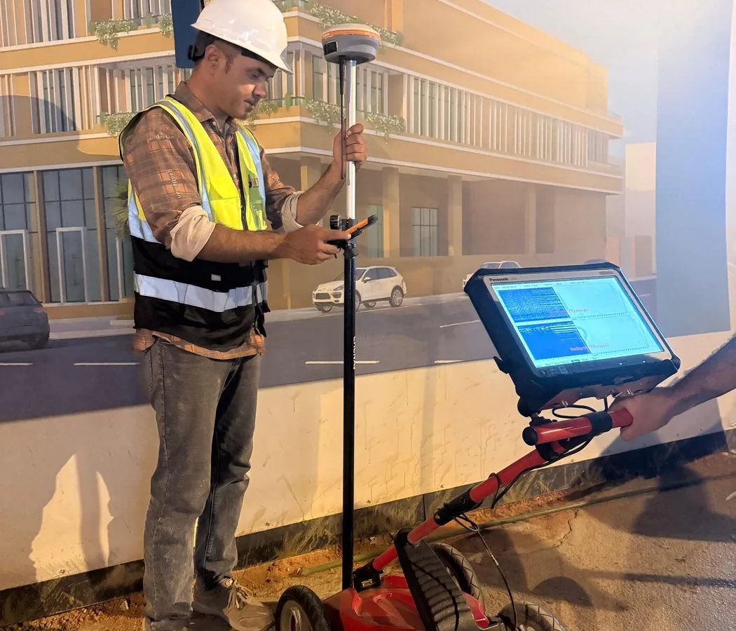
Representative archived survey method image; not necessarily captured at this project
Representative method image from the field archive; not a confirmed image from this project.
Project context

Why this investigation mattered

The project required a useful underground utility picture across a relatively large municipal work area without slowing the construction programme. The engineering value was not simply to collect radar data, but to turn a dense subsurface dataset into information that could be understood by the site team before intrusive work.

Riyadh sites can contain overlapping utility generations, reinstated surfaces and incomplete historical records. The survey therefore needed systematic coverage, disciplined interpretation and clear separation between confirmed observations, interpreted routes and areas where subsurface conditions reduced confidence.

Investigation strategy

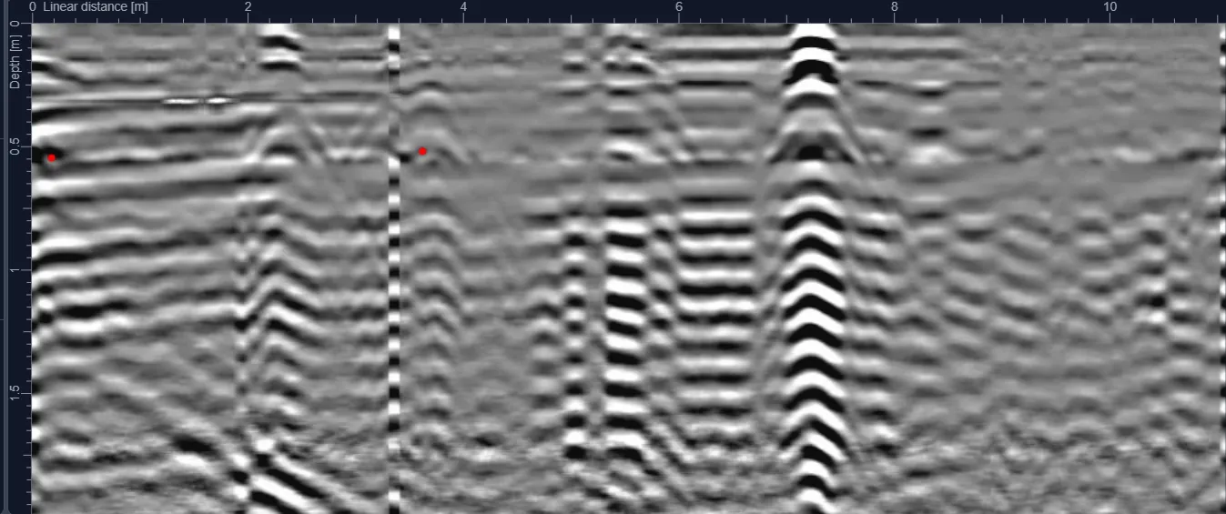
The field plan was organized around complete area coverage and the required investigation depth. GPR profiles were collected systematically so that linear responses could be followed across adjacent survey lines instead of being judged from isolated radar signatures.

Processing focused on continuity, geometry, depth consistency and correlation with visible surface evidence. Interpreted telecommunication, water and electrical routes were then compiled into an engineering-ready output, with live cable findings highlighted because of their higher construction risk.
Field-to-report workflow

How the project information was developed

The workflow is documented so the case study provides engineering context—not just a marketing summary.

  1. 01
    Review the work area, available records and intended intrusive activities before scanning.
  2. 02
    Establish systematic GPR coverage across the 8,700 m² survey area.
  3. 03
    Process and review radar profiles for continuous utility-like responses and relevant anomalies.
  4. 04
    Correlate interpretations with surface features and project information where available.
  5. 05
    Compile detected routes, depth information where technically supportable, survey coverage and limitations into the final deliverable.

Interpretation and engineering use

The completed survey gave the project team a more defensible basis for excavation planning than relying on legacy drawings alone. By highlighting telecommunication, water and electrical routes—including live cable risk—the deliverable supported safer work sequencing and better coordination before ground disturbance.

Quality control

  • Repeat review of significant linear responses across adjacent profiles.
  • Depth values reported only where the radar response and ground model supported a defensible estimate.
  • Utility interpretation checked against visible covers, cabinets, chambers and other surface evidence where present.
  • Final drawings/report distinguish interpreted subsurface information from limitations and areas of reduced confidence.

Project deliverables

  • Survey coverage record for the 8,700 m² area.
  • Interpreted underground utility mapping.
  • Depth annotations where technically supportable.
  • CAD-ready / engineering drawing information.
  • Technical report documenting findings, methodology and limitations.

Technical limitations

A stated 4 m investigation objective does not mean every target can be detected to 4 m under every ground condition. GPR performance depends on soil conductivity, moisture, target material, target size, orientation and local interference. The report should therefore be used together with site controls and safe excavation procedures.

Project FAQ

Questions this case study answers

How large was the Amanah Riyadh survey area?

The recorded project area was approximately 8,700 m².

What utilities were identified?

The project information records telecommunication, water and electrical services, including live cables.

How quickly was the project delivered?

Field scanning took one day, processing took three days and total delivery was completed within five days.

Plan before you excavate

Need subsurface information for a project?

Send the site location, survey area or route length, target depth and available drawings through the project request form.