Saudi Arabia · Riyadh · Jeddah · Eastern Province · NEOMProject enquiries · Secure request form
Case study · Al Kharj

Al Kharj GPR Underground Utility Survey

A 3,000 m² GPR investigation in Al Kharj with a deep subsurface objective extending to approximately 6 m where site conditions and target characteristics supported radar penetration.

LocationAl Kharj
ServiceGround Penetrating Radar
Scope3,000 m²
Depth / targetInvestigation objective up to 6 m
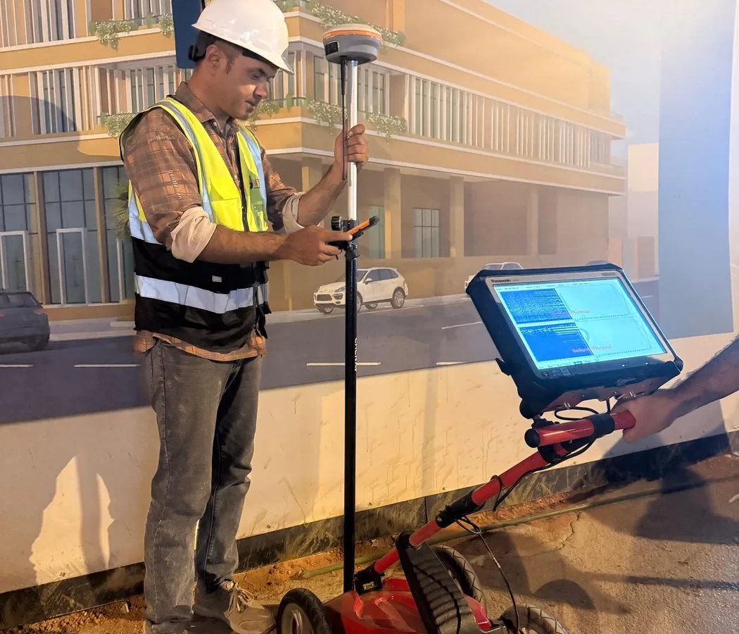
Representative archived survey method image; not necessarily captured at this project
Representative method image from the field archive; not a confirmed image from this project.
Project context

Why this investigation mattered

The main technical challenge was depth. A request to investigate to approximately 6 m cannot be treated as a guaranteed GPR specification because penetration changes with soil conductivity, moisture, salinity, antenna frequency and target contrast.

The project therefore required a depth-aware interpretation approach: deeper responses had to be judged more conservatively than shallow, high-amplitude features, and the final reporting needed to separate the requested investigation objective from the actual confidence achievable in the field.

Investigation strategy

Systematic area coverage was used across the 3,000 m² site so that deeper responses could be evaluated for continuity instead of being accepted from isolated reflections. Processing was selected to preserve meaningful subsurface structure while reducing background noise.

Interpretation emphasized geometry, lateral continuity and realistic depth confidence. The output was prepared for engineering use with explicit limitations, rather than presenting a uniform detection depth across the entire site.

Field-to-report workflow

How the project information was developed

The workflow is documented so the case study provides engineering context—not just a marketing summary.

  1. 01
    Review the site objective and identify areas where deeper investigation was most important.
  2. 02
    Collect systematic GPR coverage across the accessible 3,000 m² survey area.
  3. 03
    Process shallow and deeper portions of the radar data with attention to signal attenuation.
  4. 04
    Review continuous anomalies and utility-like responses across multiple profiles.
  5. 05
    Compile mapped interpretations and report confidence/limitations for the seven-day project programme.

Interpretation and engineering use

The project converted a broad “deep scan” requirement into a more defensible engineering investigation. By reporting what the data could and could not support, the survey reduced the risk of treating a nominal depth target as a guaranteed detection capability.

Quality control

  • No single maximum depth was treated as guaranteed across all ground conditions.
  • Deeper interpretations required stronger continuity and contextual support than shallow responses.
  • Processing avoided excessive enhancement that could create artificial targets.
  • Reporting documented areas where attenuation or site conditions reduced confidence.

Project deliverables

  • GPR survey coverage record.
  • Interpreted subsurface anomalies / utility-like features.
  • Depth estimates where technically defensible.
  • CAD-ready mapped information.
  • Technical report with method, findings and limitations.

Technical limitations

GPR does not guarantee detection of every utility or void to 6 m. Conductive soils, saline moisture, small targets and weak dielectric contrast can reduce penetration significantly. Deep findings should be verified before high-risk excavation or drilling.

Project FAQ

Questions this case study answers

How large was the Al Kharj survey?

Approximately 3,000 m².

Was 6 m guaranteed everywhere?

No. Six metres was the investigation objective; actual penetration depends on ground and target conditions.

How long did the project take?

The recorded duration was seven days.

Plan before you excavate

Need subsurface information for a project?

Send the site location, survey area or route length, target depth and available drawings through the project request form.