Saudi Arabia · Riyadh · Jeddah · Eastern Province · NEOMProject enquiries · Secure request form
Saudi Arabia

Concrete Scanning

High-resolution scanning for rebar, conduits, post-tension systems and embedded hazards before coring or cutting.

What this service does

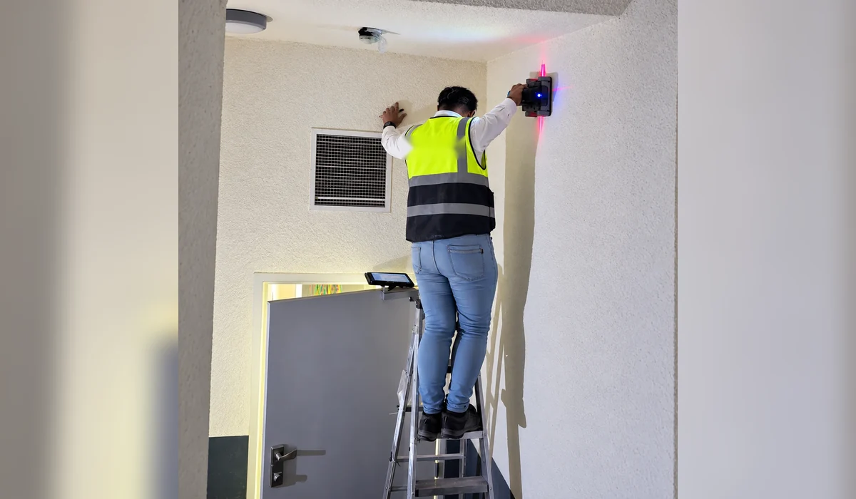
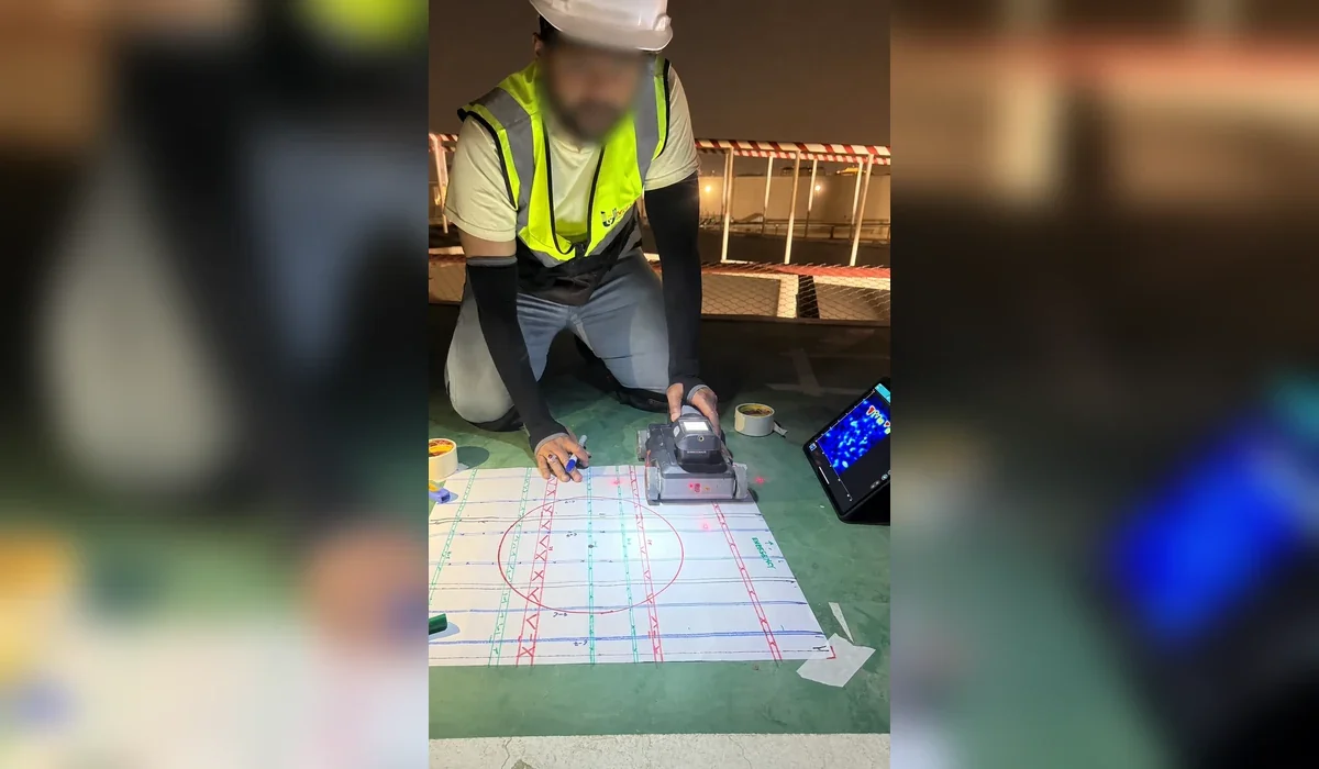
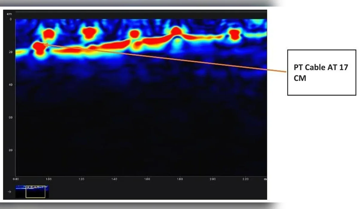
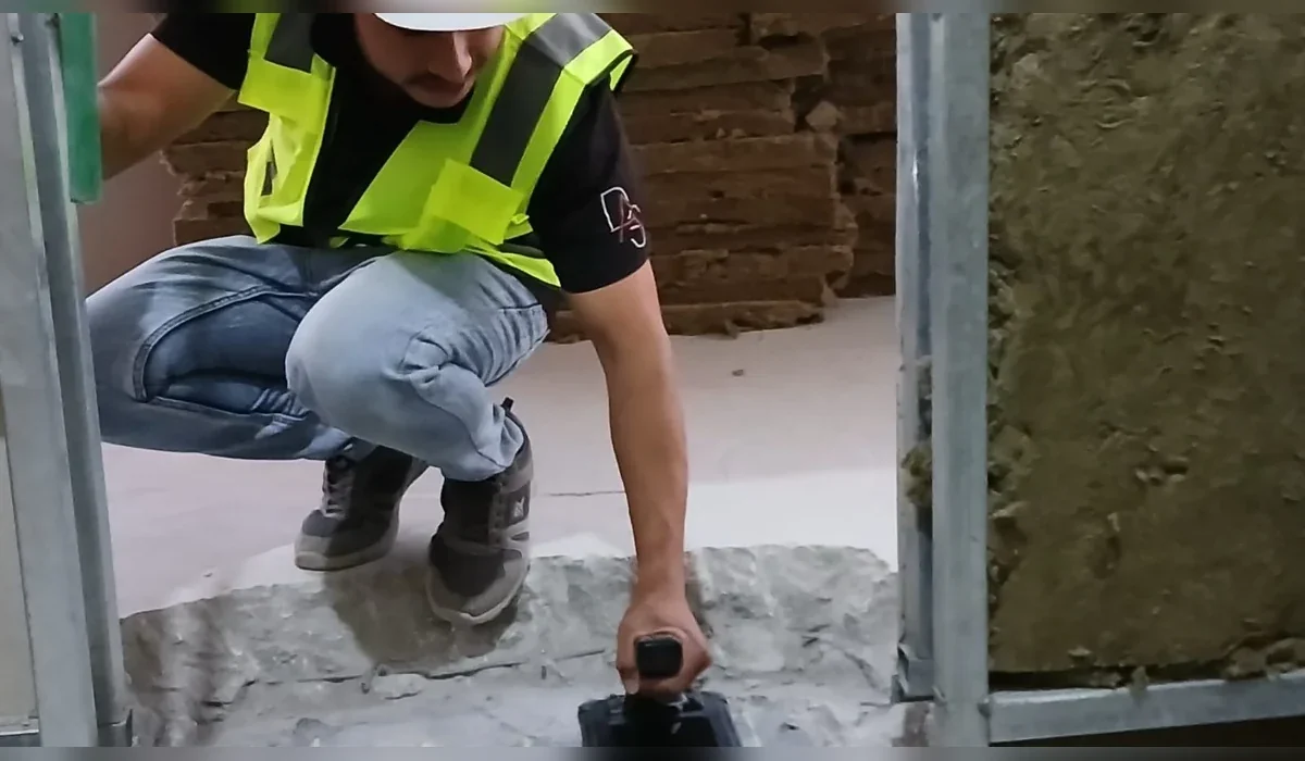
Concrete scanning uses high-frequency radar to identify reinforcement, conduits and other embedded features before coring, drilling or saw cutting.

Common applications

  • Rebar mapping
  • Post-tension risk reduction
  • Conduit detection
  • Core drilling clearance
  • Slab investigation

Methodology

We start by reviewing drawings, target depth, planned intrusive works and access constraints. Field collection is then completed using a survey pattern appropriate to the site, with complementary locating methods used where they improve confidence. Findings are interpreted, positioned and issued in clear engineering deliverables.

Limitations and quality control

Scanning results are used to identify safer work zones. Structural decisions remain the responsibility of the project structural engineer where reinforcement modification is proposed.

Typical deliverables

  • Marked-up plans and/or CAD drawings
  • Depth annotations where technically supportable
  • Survey coverage and methodology record
  • Engineering report with findings and limitations
  • GIS-compatible outputs when required
Service FAQ

Questions about Concrete Scanning

Is GPR safe for concrete scanning?

GPR is a non-destructive method and is widely used to locate reinforcement, conduits and post-tension features before drilling or coring. The scan should be interpreted in relation to the slab thickness, access and reinforcement congestion.

Do you provide clearance before coring or drilling?

Yes. Concrete scanning can be used to identify embedded hazards and support selection of safer coring or drilling locations. Final drilling approval remains subject to the project’s permit and engineering controls.

What deliverables can be provided?

Depending on scope, deliverables can include field markings, CAD drawings, GIS-compatible data, X/Y/Z utility schedules, interpreted radar information, survey coverage plans and technical reports describing findings and limitations.

Does a utility survey guarantee that nothing is buried?

No non-intrusive survey can guarantee detection of every buried object. Detection is affected by access, depth, target properties, interference and ground conditions. Reports should therefore state limitations and recommend verification where consequences are high.

Plan before you excavate

Need subsurface information for a project?

Send the site location, survey area or route length, target depth and available drawings through the project request form.