Site context and engineering objective
Urban corridors can contain multiple generations of power, telecom, water and drainage infrastructure, often with incomplete asset records and restricted access.
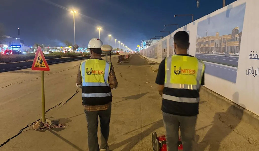
A Riyadh urban-corridor case reference for coordinating GPR and utility interpretation in dense roadside and built-up infrastructure.
Field approach and interpretation
- Segment the corridor into workable survey reaches and identify access, surface and service constraints.
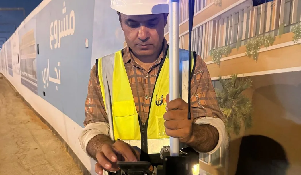
- Review records and combine repeated GPR traverses with electromagnetic locating where authorised and technically applicable.
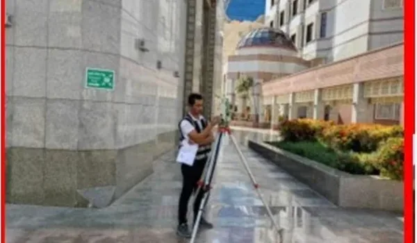
- Transfer interpreted corridor routes and uncertainty zones to a consistent engineering drawing reference.
Important limitations
GPR can indicate likely alignments or anomalies but cannot identify every material type or verify ownership. Utility congestion requires careful interpretation and validation.
The depth and confidence of GPR interpretation vary with soil electrical properties, moisture, surface structure, reinforcement and target geometry. A non-destructive survey cannot guarantee that every buried service or embedded hazard has been found.
How this information supports site decisions
The practical purpose is to reduce uncertainty by identifying interpreted targets and zones that merit checks against records or controlled exposure. The issued technical report, not this public overview, determines the actual workfront, deliverables and verified findings.
Ground penetrating radar surveys · Planning before excavation