Scope and engineering context
A confidential Jeddah laboratory-related GPR assignment focused on scanning selected work areas and reporting subsurface anomalies for engineering coordination.
Project record
- Confidential industrial client
- Targeted non-destructive subsurface review
- Site coordination for sensitive workfronts
- Interpretation for planned intrusive activity
How the investigation was approached
- Survey access around operational or specialist buildings needs to be coordinated with the site owner to avoid restricted zones.
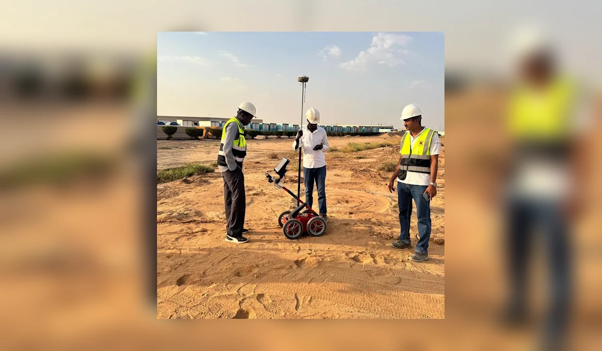
- GPR profiles can highlight material interfaces and possible buried features; the interpretation is conditional on soil, surface and target conditions.
- Client identity, sensitive site imagery and detailed asset locations have been withheld in this public case study.
Interpretation and limitations
The public summary records the survey type and general engineering purpose only. No unverified anomaly quantities, target depths or utility classifications are published.
Geophysical and electromagnetic results are interpretations of measured signals. They do not guarantee every buried utility or void has been detected. Where excavation, drilling or piling is planned, use the issued technical drawings and verify critical targets by controlled exposure or another agreed investigation method.
Deliverables and project decisions
Relevant outputs may include radar data records, mapped observations, anomaly notes, engineering drawings and the agreed final report. The exact contract deliverables are project-specific; this public overview does not replace them.