


Professional utility detection
Clients frequently highlight responsive coordination and a practical field approach when underground services must be understood before construction.
Client feedback · summarizedField investigation for contractors, consultants, municipalities and asset owners before excavation, HDD, coring, drilling and infrastructure works—supported by survey control and engineering-ready deliverables.
Our workflow combines field detection, survey control, interpretation and practical deliverables so project teams can plan excavation and construction with better information.
Complementary techniques are selected according to target type, access and site conditions.
Detected features can be captured with GNSS or total-station control where required by the scope.
Radar responses and field observations are assessed with limitations clearly stated rather than over-claimed.
Outputs are prepared for coordination, excavation planning and integration with project records.
Our service structure is built around the decisions project teams need to make before excavation, coring, drilling and infrastructure works.
Non-destructive subsurface imaging for utilities, voids, buried structures and construction risk reduction.
Explore service →/ 02ServiceIntegrated GPR, electromagnetic locating and survey control for buried utility mapping before excavation.
Explore service →/ 03ServiceRoute tracing and depth estimation for live and traceable power, telecom and fibre infrastructure.
Explore service →/ 04ServiceHigh-resolution scanning for rebar, conduits, post-tension systems and embedded hazards before coring or cutting.
Explore service →/ 05ServiceTargeted non-destructive investigation for pressurised water, fire and buried pipeline leakage.
Explore service →/ 06ServiceBoreholes, in-situ testing, sampling and laboratory analysis for foundation and infrastructure decisions.
Explore service →Utility risk changes by site, asset type and planned work. The investigation method is adapted to the actual construction decision.
Explore selected field investigations, technical approaches and project outcomes supporting safer construction decisions.
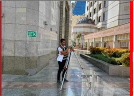
An underground utility-detection project reference associated with the King Salman airport development workfront in Riyadh.
View case study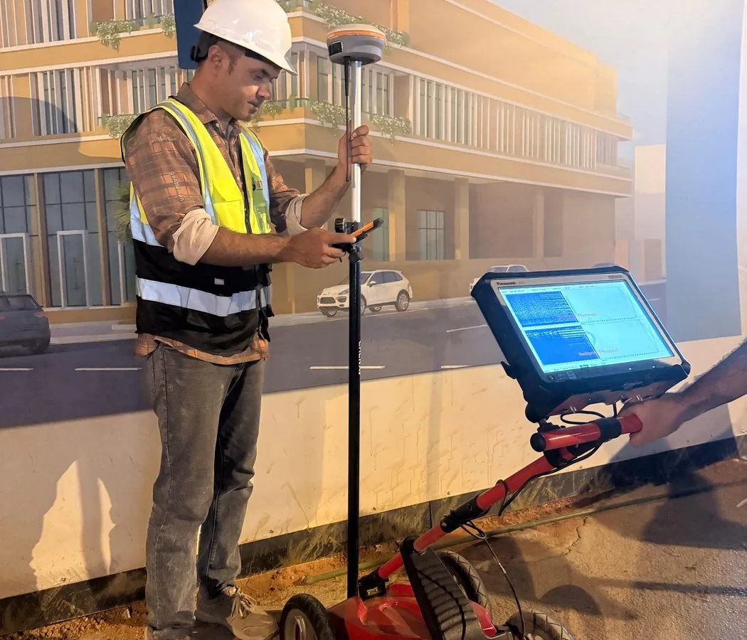
Targeted ground penetrating radar investigation for a controlled test-cell workfront in Al Kharj, with staged sector planning before intrusive work.
View case study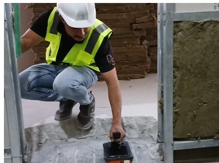
Targeted high-frequency concrete scanning and reinforcement-location reference for work areas within a KAFD building environment.
View case studyA phased GPR utility-risk investigation along 45 km of the NEOM corridor, combining field survey, subsurface interpretation and engineering-ready reporting to help plan subsequent works.
View case study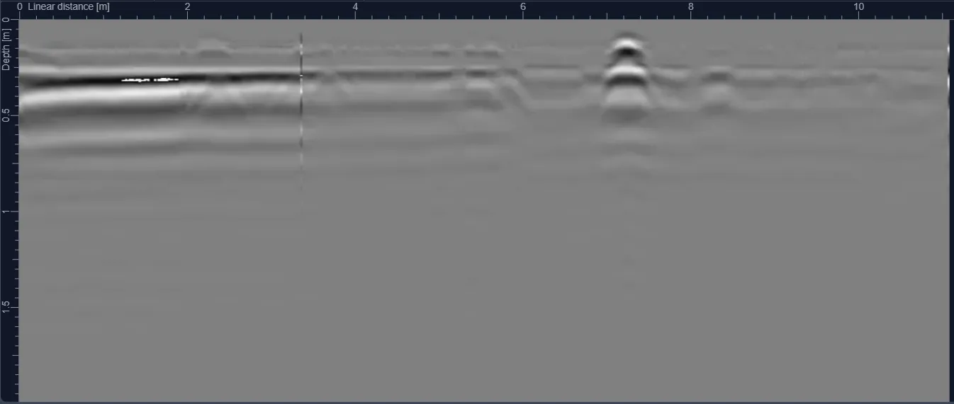
A confidential Jeddah laboratory-related GPR assignment focused on scanning selected work areas and reporting subsurface anomalies for engineering coordination.
View case studyA multi-method subsurface investigation for concealed manhole infrastructure in a remote border corridor, integrating geophysical evidence with intrusive verification where required.
View case studyRiyadh has dense utility corridors, active redevelopment and major infrastructure works. GPR KSA supports contractors, consultants and asset owners with utility detection, concrete scanning and subsurface investigation across the capital.
Jeddah projects often combine dense urban services with coastal and saline ground conditions. Survey methodology is selected around target type, surface access and actual radar performance on site.
Eastern Province work frequently involves industrial, road, utility and energy infrastructure. We combine GPR with complementary locating and survey control where technically appropriate.
Remote and giga-project environments require dependable mobilization, clear HSE planning and survey deliverables that integrate cleanly with engineering and GIS workflows.
Why sand, moisture, salinity and conductive soils change usable radar penetration and interpretation confidence.
Read guide →Method selectionUnderstand why utility investigations often use both methods rather than treating them as interchangeable technologies.
Read guide →Budget planningArea, grid density, target depth, access, location and deliverable requirements all influence commercial pricing.
Read guide →SUEA practical framework for combining records, geophysics, survey control and physical verification before construction.
Read guide →Summarized themes from client feedback, presented without copied names or attributed quotations.
Clients frequently highlight responsive coordination and a practical field approach when underground services must be understood before construction.
Client feedback · summarizedFast response and dependable delivery are recurring themes across utility detection and survey assignments.
Client feedback · summarizedProject teams value concise explanations of findings, limitations and the next verification step when uncertainty remains.
Client feedback · summarizedSite teams appreciate clear surface marking and focused scanning before coring, drilling or cutting works.
Client feedback · summarizedMobilization, access and changing work fronts are handled around the project programme where the scope allows.
Client feedback · summarizedCAD, survey-controlled utility information and structured reporting help teams move from field evidence to construction decisions.
Client feedback · summarizedClear answers about GPR depth, utility detection, concrete scanning, boreholes, deliverables and survey limitations.
GPR is a non-destructive geophysical method that transmits electromagnetic energy into the ground or a structure and records reflected responses from changes in material properties. It is commonly used to investigate buried utilities, voids, reinforcement and other subsurface features.
There is no universal depth. Effective penetration depends on antenna frequency, target size, soil conductivity, moisture, salinity and site conditions. Dry resistive materials may allow greater penetration, while conductive clay or saline ground can reduce it significantly.
GPR can detect some non-metallic utilities when there is sufficient contrast between the target, trench backfill and surrounding material. Results depend on diameter, depth, material and ground conditions, so complementary methods and verification are often recommended.
Electromagnetic locating is effective for many conductive or traceable utilities while GPR can provide evidence of both metallic and non-metallic features. Combining methods reduces dependence on a single detection technique and improves interpretation confidence.
Traceable conductive cables can often be located using electromagnetic methods, and GPR may provide supporting evidence. A geophysical survey does not replace electrical isolation procedures, permits or safe excavation practices.
GPR is a non-destructive method and is widely used to locate reinforcement, conduits and post-tension features before drilling or coring. The scan should be interpreted in relation to the slab thickness, access and reinforcement congestion.
Send the site location, survey area or route length, target depth and available drawings through the project request form.