Services available
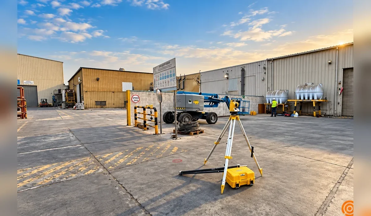
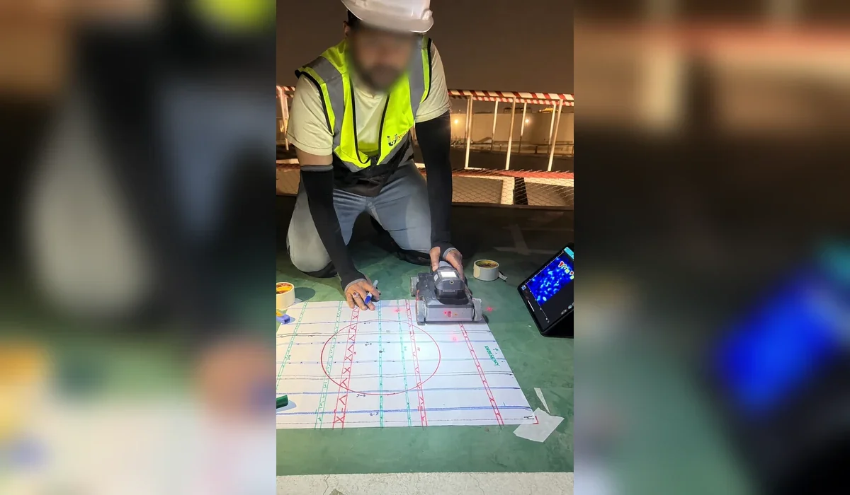
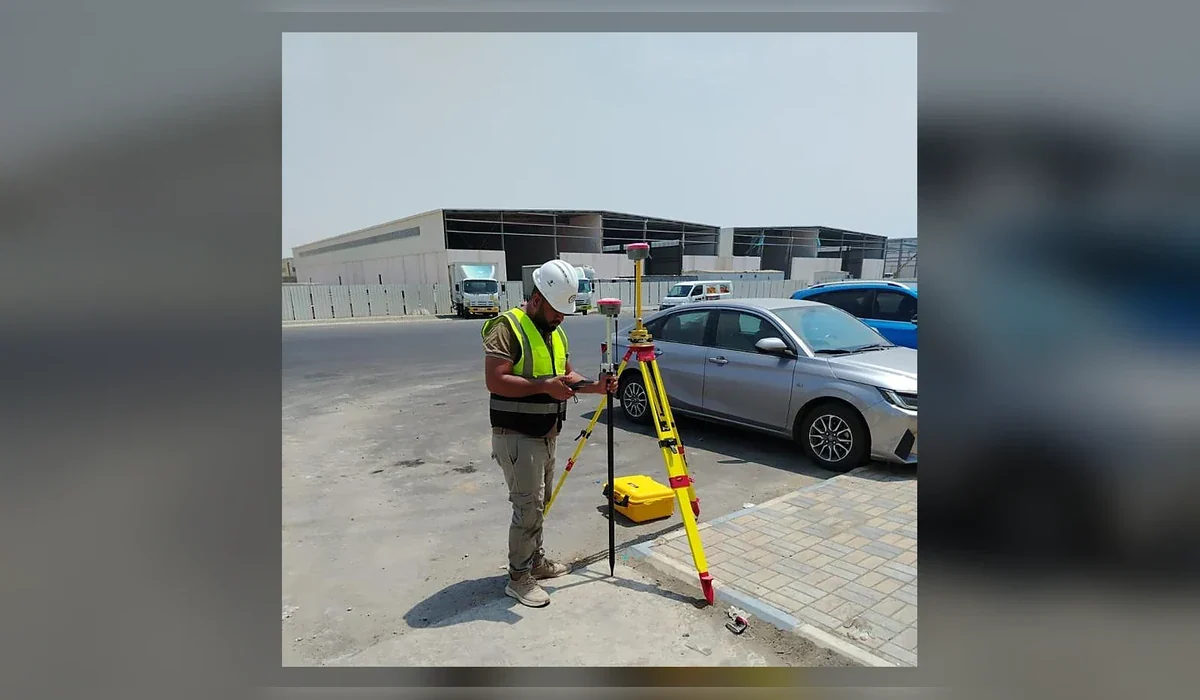
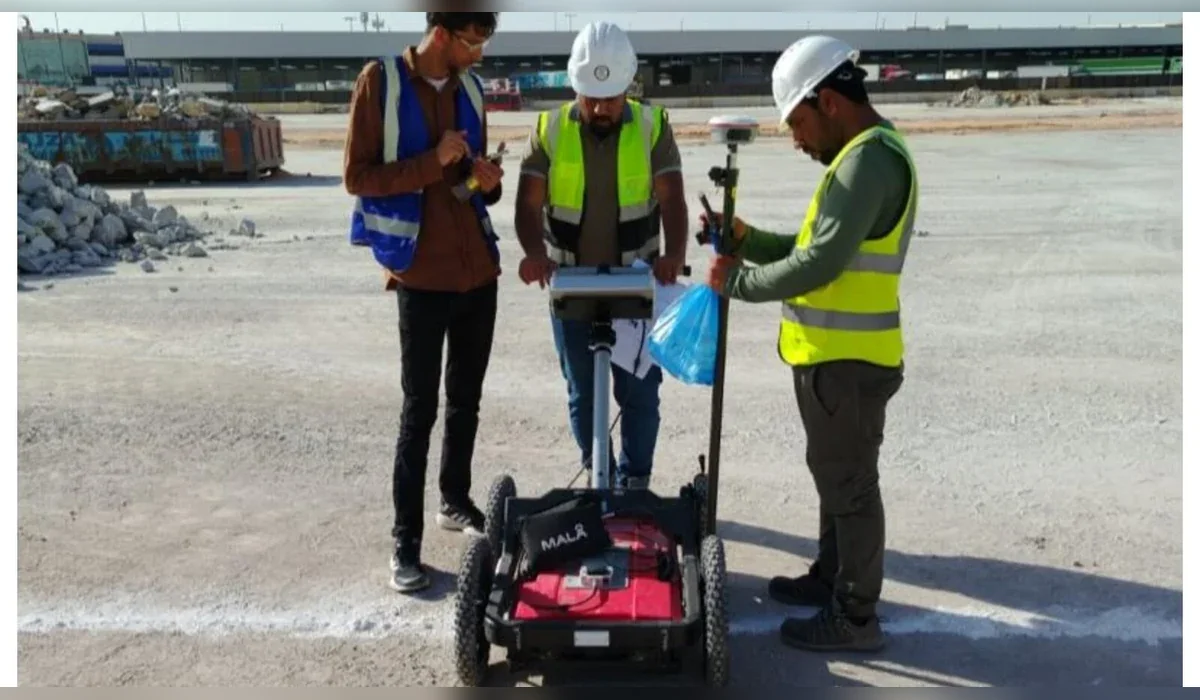
GPR KSA supports underground utility detection, GPR survey, cable locating, concrete scanning and selected subsurface investigation works in this region. Methodology is determined by the actual target, access, ground conditions and required engineering output.
Why local conditions matter
Radar depth is not a fixed equipment specification. Ground conductivity, moisture, salinity, target geometry and surface conditions can materially affect performance. Field verification and multi-method investigation are therefore more useful than generic depth promises.
Typical client requirements
- Excavation and trench clearance
- Utility mapping for design coordination
- HDD route risk reduction
- Concrete coring clearance
- CAD / GIS utility records