Project background: reducing drilling risk at KAUST
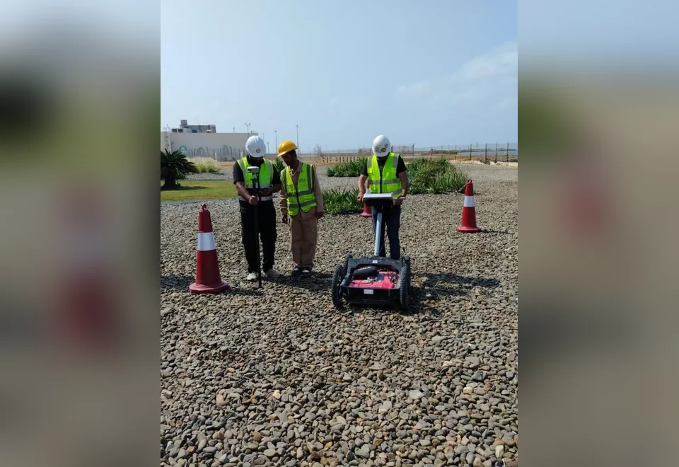
The King Abdullah University of Science and Technology (KAUST) site is in Thuwal, north of Jeddah, Saudi Arabia. The recorded scope was to use Ground Penetrating Radar (GPR) to investigate buried services and support the selection of three proposed geotechnical borehole positions on predominantly sandy ground.
Before intrusive drilling, possible utilities and unexpected subsurface targets must be identified and documented. This assignment combined radar survey lines, GPS survey control, and electromagnetic utility locating to inform which borehole positions should be reconsidered and which locations could be proposed for further verification.
Survey scope and equipment
The final report records 35 GPR profiles, each listed as 3 m in its profile schedule. The survey assessed local 3 m × 3 m grids around each of the three candidate borehole positions, rather than claiming uninterrupted coverage of the wider campus.
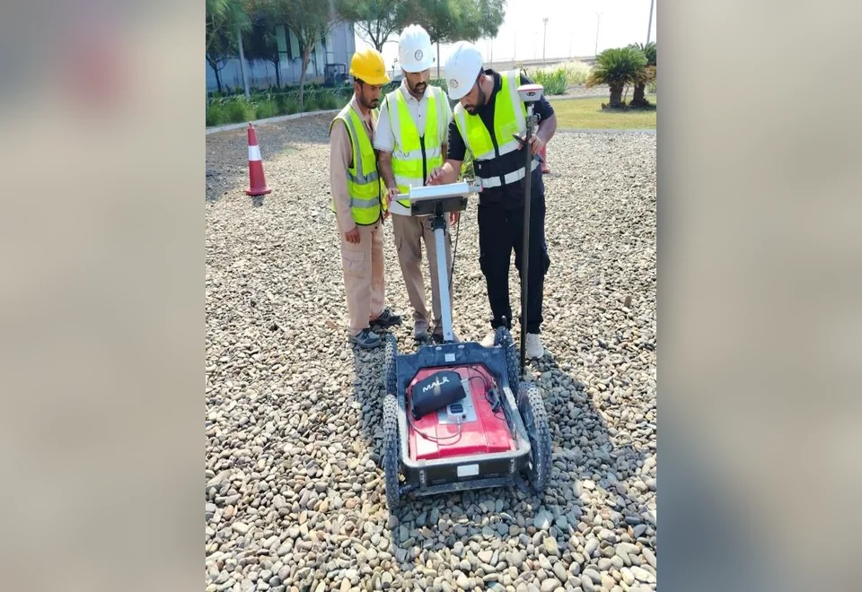
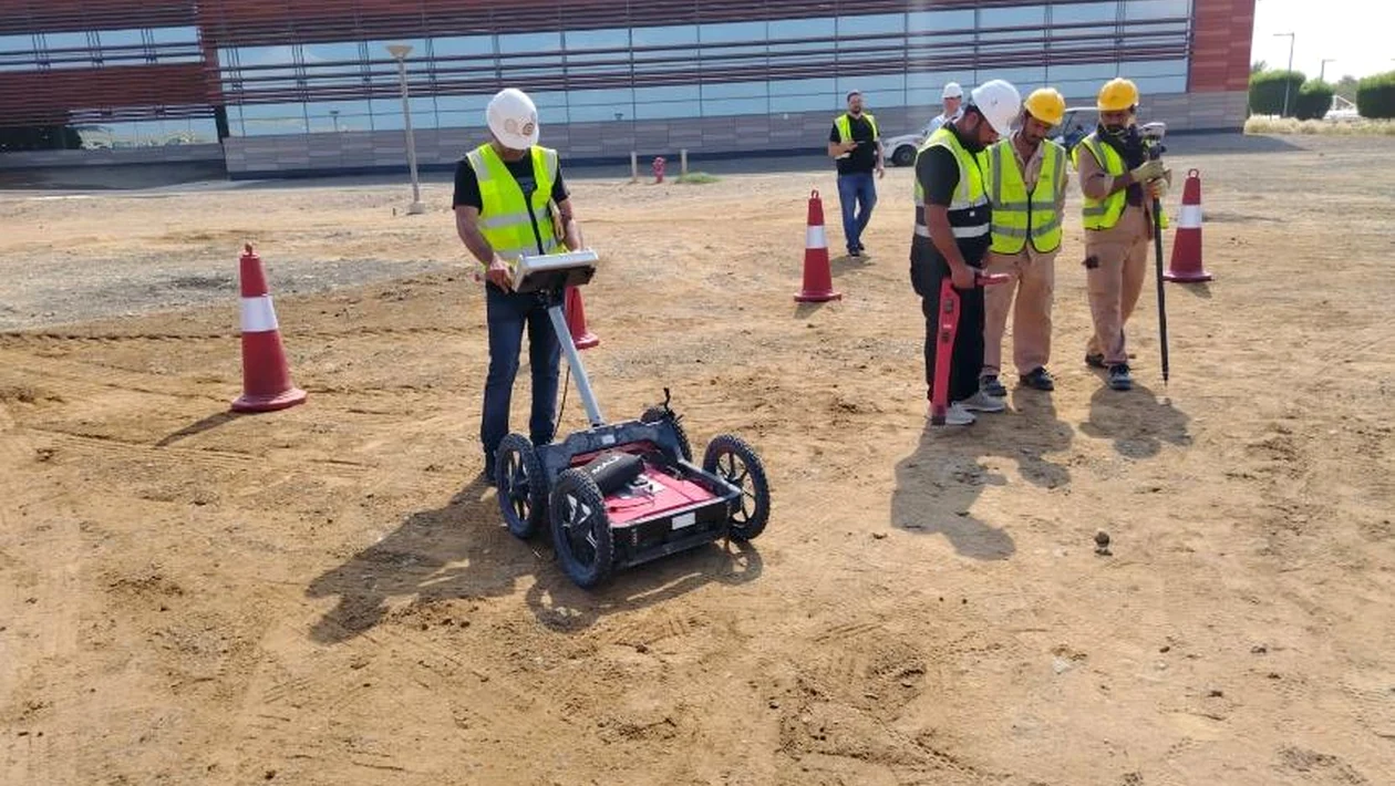
- GPR system: MALÅ Easy Locator Pro Wide Range HDR with 80–950 MHz antenna range.
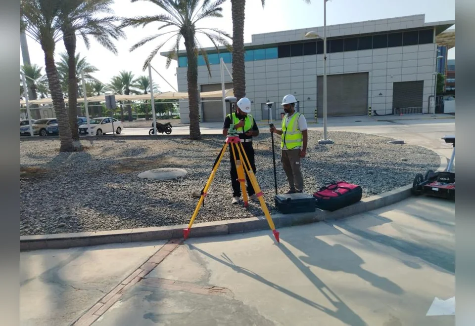
- Survey control: GPS benchmark for the positioning and referencing of the survey work.
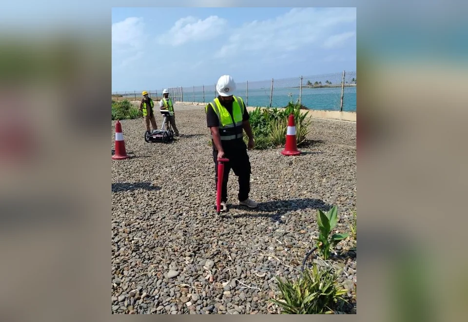
- EML / Radio Detection: utility tracing of detectable conductive services before the GPR investigation.
- Data processing: interpretation of 2D radar sections using MalaVision processing.
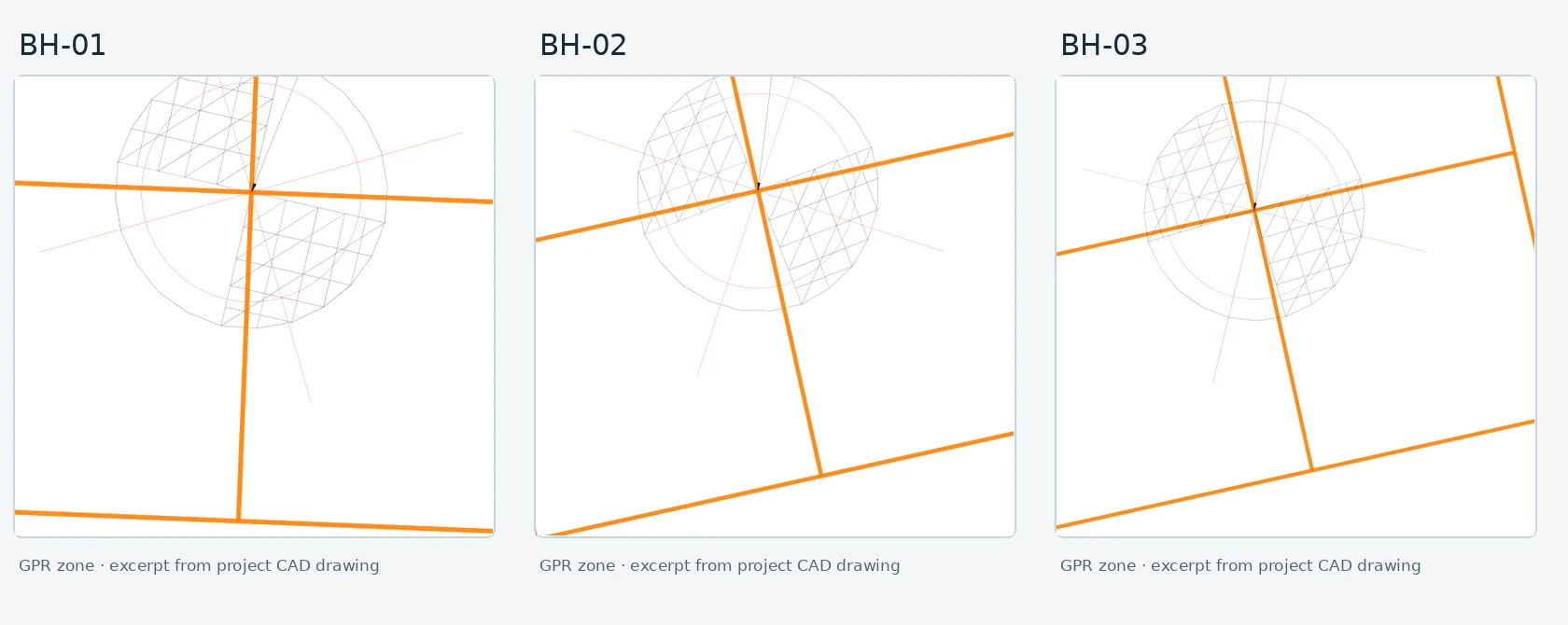
- Drawing output: an AutoCAD plan showing three proposed borehole locations.
Field workflow and interpretation
- Establish site reference control and position the candidate borehole areas.
- Conduct electromagnetic locating and trace identifiable conductive utilities.
- Acquire continuous GPR profiles on the local survey grids.
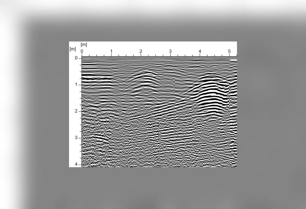
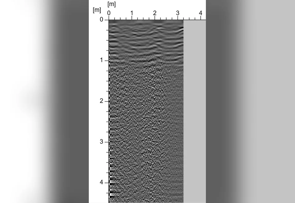
- Review 2D radar reflections and flag repeatable, anomalous hyperbolic responses.
- Reject or adjust candidate areas containing interpreted utility indications, and prepare the final proposed locations on the CAD drawing.
Findings and engineering outcome
Interpretation identified several anomalous radar responses considered possible underground utilities and services. The report states that areas containing such responses were avoided and new locations were proposed. The deliverable comprised three proposed borehole positions presented on the drawing in Appendix B.
Ground conditions and detection limitations
Ground-penetrating radar response varies with the conductivity and moisture content of the ground, antenna frequency, surface structures, reinforcement, and target geometry. The final report specifically highlights interference from conductive soil, above-ground materials and metallic objects. No universally achievable detection depth or absolute clearance is claimed here.
Explore our GPR survey services, underground utility detection and Jeddah-region survey coverage.