How boreholes, sampling and in-situ testing support geotechnical decisions for foundations, roads, utilities and infrastructure projects in Saudi Arabia.
Key principle: The right investigation is the one that reduces uncertainty around a defined engineering decision. GPR and other methods should be selected and reported with their limitations, not marketed as universal detection tools.
Why boreholes are different from geophysics
Geophysical surveys infer changes in the subsurface from physical responses. Boreholes provide direct evidence through drilling, samples and in-situ tests. The two approaches can complement each other when a project needs both spatial context and physical verification.
Planning the investigation
Borehole locations and depths should be driven by the proposed structure, expected geology, load paths and the questions the geotechnical designer needs answered. Access, underground utilities and safe drilling clearance should be addressed before mobilization.
Field and laboratory information
Typical programs may include soil and rock logging, sampling, groundwater observations and project-specific in-situ or laboratory tests. The exact program should be specified by the responsible geotechnical engineer.
Utility clearance before drilling
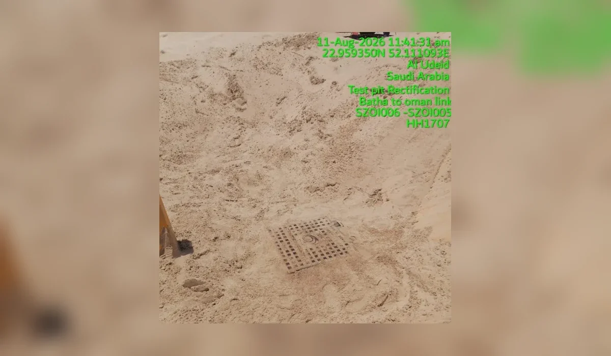
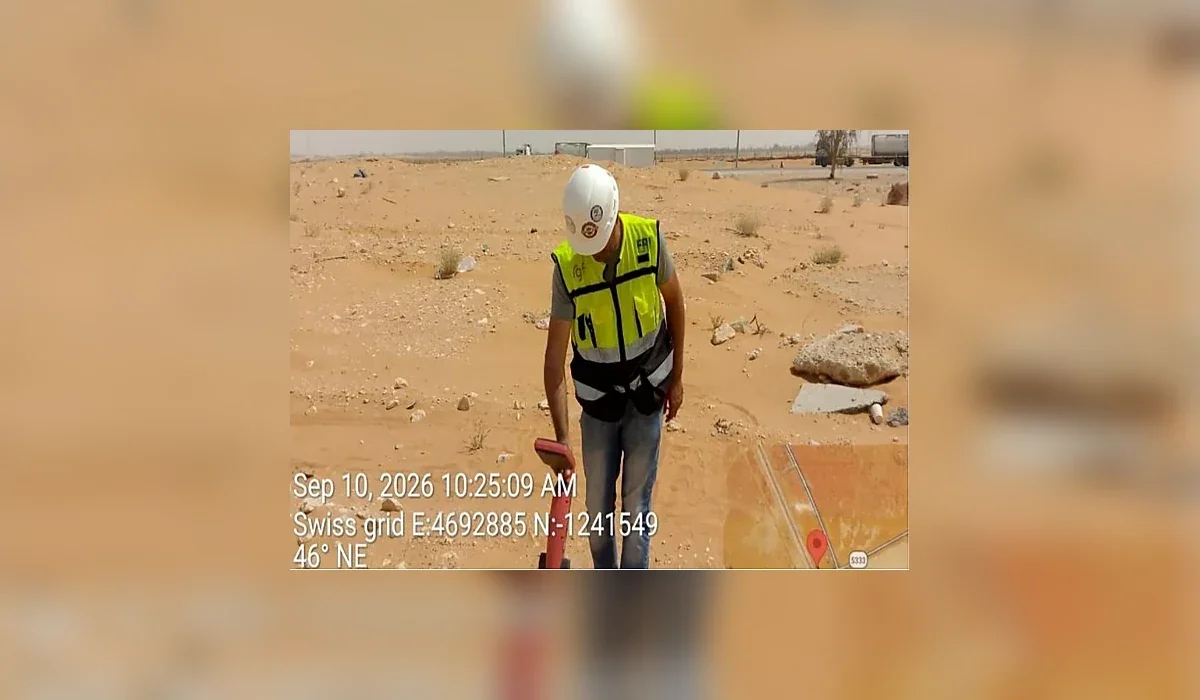
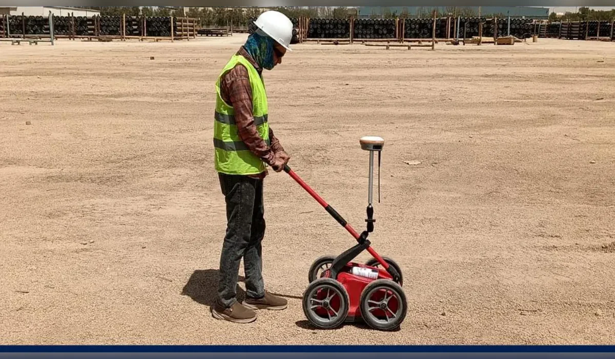
A drilling location that appears clear on drawings may still contain unrecorded services. Combining records, surface observations, GPR and electromagnetic locating before drilling helps manage that risk, while physical verification may still be required.
From borehole to engineering report
The value is not the hole itself; it is the interpreted ground model and engineering parameters produced from the investigation. The final report should explain assumptions, variability and recommendations relevant to the proposed works.
Plan the survey around the decision
Before mobilization, define the site limits, required outputs and what will happen after the survey. If an interpreted feature could change an excavation, drilling or design decision, agree in advance how that feature will be verified. This creates a defensible workflow and avoids treating a geophysical interpretation as absolute proof.