
A practical comparison of common near-surface geophysical methods and how to select the right combination for an engineering problem.
Key principle: The right investigation is the one that reduces uncertainty around a defined engineering decision. GPR and other methods should be selected and reported with their limitations, not marketed as universal detection tools.
Method selection starts with the target
Different geophysical methods respond to different physical properties. GPR responds to dielectric contrasts, electromagnetic locating to conductive pathways, seismic methods to elastic-wave behaviour and electrical resistivity to contrasts in electrical properties.
GPR
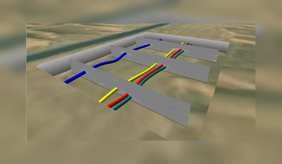
GPR provides high-resolution continuous profiles and is widely used for utilities, concrete and shallow anomalies. Conductive ground and salinity can limit penetration.
Seismic methods
Near-surface seismic techniques can support assessment of layer stiffness, depth to competent material and selected anomaly investigations. Survey geometry and site noise strongly affect the result.
Electrical and electromagnetic methods
Resistivity can investigate broader conductivity variations and may be useful for geological or moisture-related questions. EM locating is efficient for traceable conductive utilities. These methods answer different questions and should not be treated as interchangeable.
Integrated interpretation
The strongest program often combines methods with survey control and targeted physical verification. Integration should reduce uncertainty around a decision, not simply increase the number of instruments on site.
Plan the survey around the decision
Before mobilization, define the site limits, required outputs and what will happen after the survey. If an interpreted feature could change an excavation, drilling or design decision, agree in advance how that feature will be verified. This creates a defensible workflow and avoids treating a geophysical interpretation as absolute proof.